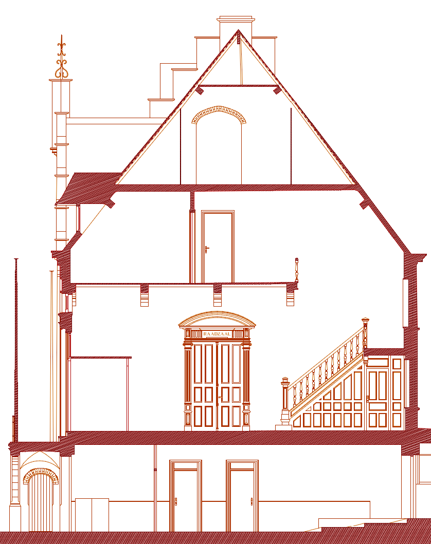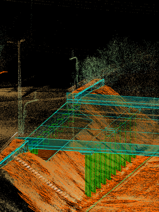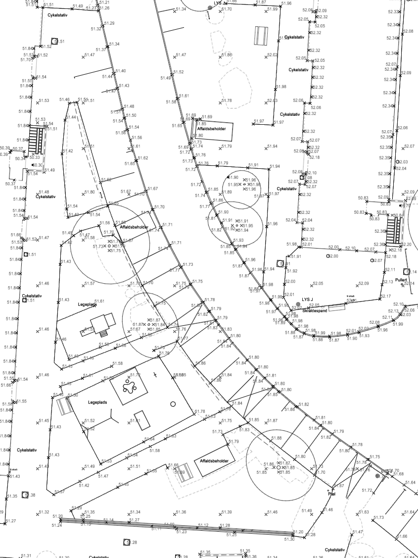
2D and 3D deliverables from point cloud data
Production of architectural drawings and 3D models.
Point cloud solutions for your projects
Orbea.xyz provides a variety of services in laser scanning, point cloud processing and CAD extraction to architectural, topographical and mapping companies.

Production of architectural drawings and 3D models.

Extraction of CAD features from point cloud.

Production of topographic plans from terrestrial point cloud scanners.
Learn about what you can expect when you work with us and how the process unfolds.
First contact
Get in touch with us. Place your questions. Learn about how we work.
Get an estimate
We'll always provide you with an estimate and a timescale.
Upload point cloud data
You can send us the scanned point cloud data using your preferred service or use our own cloud storage service.
Drafting and modeling
We model on 3D over the point cloud. Our drawings are accurate, clean, consistent and executed by professionals with experience in the construction industry.
QC and delivery
All models and drawings are subjected to a quality control procedure. Final product delivery only takes place upon approval by QC.
CS and feedback
After delivery, the client is granted a period for evaluation. We will gladly procede with your required alterations to the drawings or models delivered.
